Project co-funded by the European Regional Development Fund through the Large Infrastructure Operational Program 2014-2020. The content of this material does not necessarily represent the official position of the European Union or the Government of Romania. For detailed information on the other programs co-funded by the European Union, please visit: www.fonduri-ue.ro
Is a protected area of average size at the level of the country located in the geographical area of Podișul Târnavelor at the latitude of N 46.0025777 and the longitude E 24.0044083.
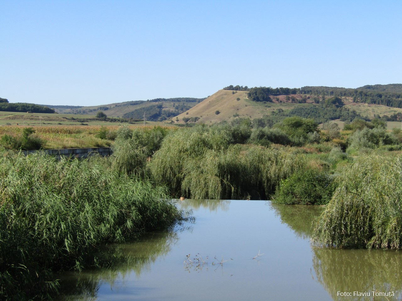
Is a protected area of average size at the level of the country located in the geographical area of Podișul Târnavelor at the latitude of N 45.0100750 and the longitude E 24.0164833.
Is a small-scale protected area in the continental biogeographical region at N 45.0105166 and the E 24.0123638 longitude.
 detalii